
Geography and Map Division
and Philip Lee Phillips Society’s
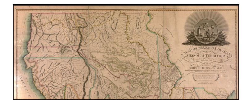
Exploring Map Surrounds
May 8th, 2025, 1:15pm–4:15pm
Join the Geography and Map Division and Philip Lee Phillips Society (PLPS) for Exploring Map Surrounds with former PLPS fellow and map historian, Chet Van Duzer, art historian, Dr. Juliet Wiersema and Library of Congress’ preservation science specialist, Meghan Hill.
- 1:15pm — Doors open for a meet & greet
- 1:45pm–2:45pm — Chet Van Duzer, historian of cartography and former PLPS fellow, will discuss “Drawing Identity: Cartographic Self-Portraits in the 20th and 21st Centuries”
- 2:45pm–3:15pm — A Special Theme-Related G&M Map Display and refreshments
- 3:15pm–4:15pm — Dr. Juliet Wiersema, Pre-Hispanic and Spanish Colonial Art History at University of Texas-San Antonio, and Meghan Hill, Preservation Science Specialist at the Library of Congress will discuss “Sights on Spice. A Historical and Material Exploration of William Hacke’s A Description of the Sea Coasts … East Indies.”
LJ-119 (presentations), Thomas Jefferson Building
LJ-113 (curated map display), Thomas Jefferson Building
This event is made possible by gifts to the Library of Congress Philip Lee Phillips Map Society.
For more information:
Carissa Pastuch cpastuch@loc.gov | 202-707-MAPS
Request ADA accommodations 5 days in advance at 202-707-6362 or ADA@loc.gov
